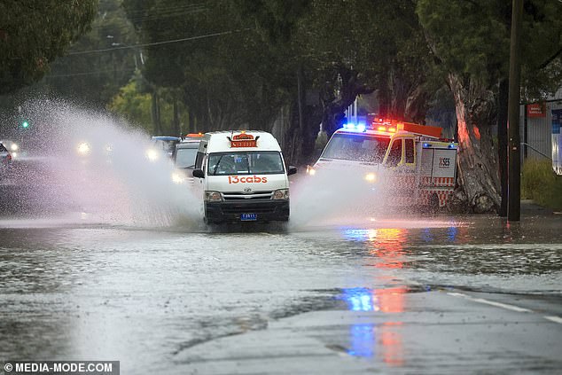
Two people have been rescued from flash flooding as heavy rain batters the east coast with the wild conditions set to continue for the next four days.
Emergency services saved the people after they became stranded in their cars along Botany Road in Waterloo and Alexandria, in Sydney‘s inner south suburbs, on Sunday.
The rescue effort came as heavy downpours battered the east coast with the wild conditions extending from NSW into Queensland.

Two people have been rescued from flash flooding as heavy rain batters the east coast with the wild conditions set to continue for the next four days
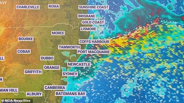


The east coast of Australia up and down NSW and into Queensland is set for a drenching over the next four days
Sydney train passengers have also had a rough start with flooding on the tracks disrupting services from Sydenham to Lidcombe.
Commuters have also been told to avoid the inner west Lewisham station with flooding in its subway.
Motorists in Sydney have been warned to take extreme care due to wet roads and poor visibility.
The NSW SES says with the heavy rain moving north residents should not travel through floodwaters as well as keeping clear of creeks and storm drains.
They also advise people stay indoors away from the windows with children and pets kept inside.
Temperatures in Sydney dropped to a cool 16C on Sunday morning as the heavy rain hammered the NSW capital with more expected over the next four days.
‘Showers up and down the NSW coast and pushing into southeastern parts of QLD on Sunday,’ Sky News meteorologist Rob Sharpe said.
He said the showers while moderate, ‘may feel heavy if you’re out in it’.
‘It’s going to be a daily event as well, up and down the east coast from Monday to Wednesday,’ he said.
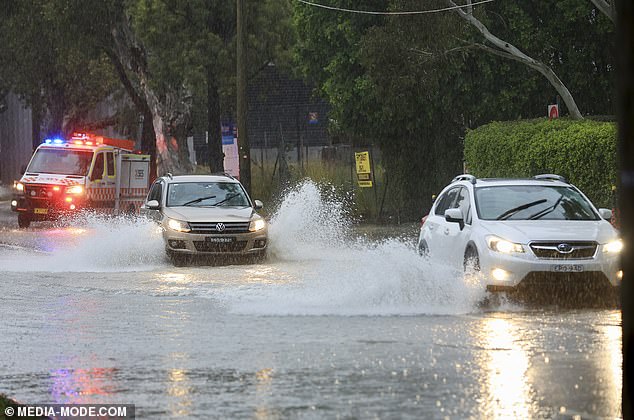


The rescue effort came as heavy downpours battered the east coast with the wild conditions extending from NSW into Queensland
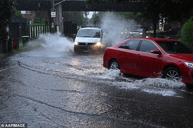


Motorists in Sydney have been warned to take extreme care due to wet roads and poor visibility
‘The NSW north-coast and down to Sydney is probably where the bulk of that weather will be.’
A severe thunderstorm warning is in place for the Central Coast with fears for flash flooding in the coming hours.
Heavy rainfall is forecast for Gosford, The Entrance and Woy Woy.
More than 60mm was recorded at Kincumber Mountain Reservoir in a one hour period this morning.
Brisbane was also being pummelled by heavy rain on Sunday with light winds expected to become southeasterly 15 to 20 km/h in the middle of the day.
Showers are expected in the city until it clears slightly on Wednesday, however, forecasters predict rain will return by Friday.
And while Melbourne is slightly cloudy on Sunday, the sun is expected to be out in force at the start of the week with a high of 26C on Tuesday.
Some rain is expected later in the week.
Summer temperatures remain in Adelaide with a high of 28C predicted for the city on Tuesday.
However, some showers are expected from Wednesday.
Those in Perth will likely be hitting the beach on Sunday as the mercury is expected to reach a high of 27C.
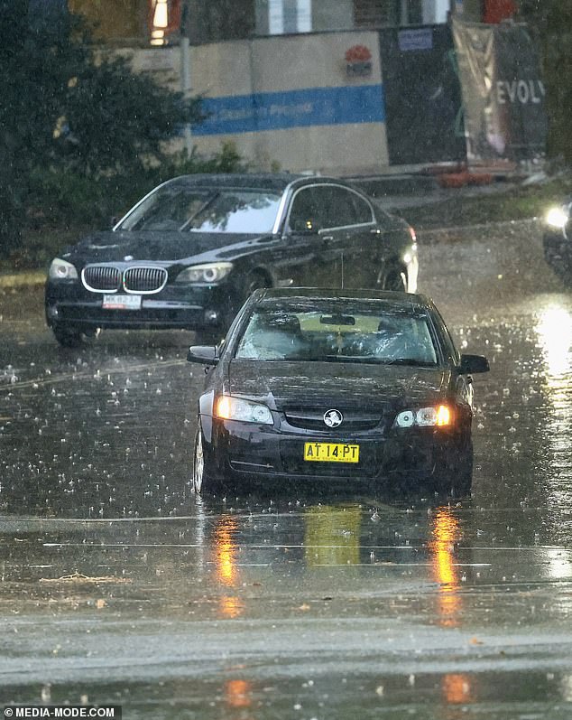


Temperatures in Sydney dropped to a cool 16C on Sunday morning as the heavy rain hammered the NSW capital with more expected over the next four days
Source: | This article originally belongs to Dailymail.co.uk