We typically think of mapping and location data as something that helps our days run more smoothly – from navigating journeys with your smartphone or satnav to using ride-sharing and food delivery apps. But there is more to location data than making our lives more convenient: one key use is helping to sustain life itself by assisting humanity’s efforts to tackle the climate crisis.
After all, part of the fight against climate change and other ecological disasters involves assessing the damage to natural environments and properly monitoring our progress towards mitigating this. Location data – also known as geospatial data – can help governments, public bodies and businesses monitor deforestation, land degradation, changing coastlines, biodiversity loss, unsustainable agricultural practices, greenhouse gas emissions, pollution and sewage, as well as the environmental impact of complex supply chains.
Location data can also help governments and environmental agencies predict which areas are most at risk of being affected by extreme weather such as heatwaves, droughts and floods – allowing them to better protect vulnerable communities.
“When trying to adapt to climate change, it’s really important to understand nature and what’s going on,” says Donna Lyndsay, sustainability lead at Ordnance Survey (OS), Britain’s national mapping service. “Location [data] is at the heart of the path to net zero greenhouse gas emissions.”
The organisation’s efforts in this area use cutting-edge technologies in satellite observation, AI and deep-learning techniques – illustrating how far OS has evolved from making the paper maps for which it has traditionally been known. The technology is then combined with OS human ingenuity, expertise and painstaking diligence.

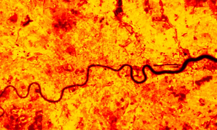
Hitting hotspots from space
Earlier this year, George Freeman, a minister at the Department for Science, Innovation & Technology, highlighted that more than half of key climate data comes from space. One example of this kind of data capture is a project backed by the UK Space Agency, in which OS is collaborating with the National Centre for Earth Observation and Space4Climate, which represents the UK Earth-observation community, to use satellite data to monitor and map heat in locations at greatest risk. The project uses land surface temperature data from thermal infrared sensors in space, with the aim of helping policymakers to manage the impacts of climate change in hotspots across the UK and elsewhere.
In cities, so-called urban “heat islands” occur where the land surface is densely covered with roads, pavement, buildings, and other surfaces that absorb and retain heat. This effect can increase energy costs due to greater air conditioning use, raise pollution levels, and heat-related illness and fatalities.
Data from the project will deliver insight so that governments will be able to protect vulnerable communities by identifying cool spaces or areas where safe zones are needed, optimise tree planting, and explore how planning could mitigate risk and ensure the land management measures being proposed will be resilient to future change, from urban planning to rural planning, and protecting our people, livestock, and crops.
These kinds of ambitious projects and cutting-edge techniques are becoming increasingly crucial. Indeed, last year, the UK government announced up to £200m of funding to invest in the Earth observation sector to help meet net zero goals.
Putting mangroves in the picture
Elsewhere, OS has also worked with Deimos Space UK and the Mohammed Bin Rashid Space Centre in Dubai to automate the production of climate-related geospatial information using satellite data and AI technology. The technology is being used to monitor palm trees and mangroves – vegetation that can help mitigate the impact of climate change by storing a large amount of carbon, and which is being planted in swathes. The project’s innovative techniques can provide data with greater accuracy, frequency and efficiency than would be possible with manual processes.
OS is also partnering with academics and businesses to research how Earth observation from space, AI models and location data can help detect sewage overflows. It is part of a research programme from the technology and consulting group CGI to monitor and predict sewage overflows in our rivers and on coasts.
Sewage in UK water is a growing public health concern, with water companies discharging raw sewage into English rivers 372,533 times in 2021, but old monitoring equipment is making accurate reporting difficult.
Initial findings from the sustainability exploration environmental data science (Seeds) programme suggest that satellite and other geospatial data has the potential to identify organic matter in waterways and could be used to detect organic matter from sewage overspills and their downstream impact. This type of data could be a valuable input into an early warning system for water bodies across the UK, allowing them to better determine the likelihood that sewage will be dumped at a specific location or where there will be an overspill. That kind of predictive analysis is increasingly vital for monitoring and mitigating environmental risks.

Peatlands and carbon
Another area in which location data can help with the fight against climate change is the preservation of peatlands. Peatlands protect biodiversity and help reduce flood risks, but they are also a major carbon sink that absorbs carbon dioxide from the atmosphere. “We need peatlands because they hold large amounts of carbon,” says Lyndsay, “[But] more than 80% of UK peatlands have been degraded.”
OS worked with Assimila, Space 4 Climate and Durham University, and the University of Leicester, to use location data to help monitor and protect peatlands, to ensure they continue to take in carbon dioxide.
One of the issues is that peatlands are so widespread – covering about 12% of the UK’s land area – which means satellite and aerial imagery would need to be combined with OS field survey data to produce accurate mapping of features, particularly those that might be obscured by trees. OS has now started to understand how this can be made more effective by identifying the blend of technologies and techniques needed for such landscape scale monitoring.
Data we can trust
Thanks to new technology and techniques, there is no shortage of data to help people tackle climate change – from the proliferation of satellite data to the harnessing of data from internet-connected devices, vehicles and sensors.
Integrating data from multiple sources can be complex but can also yield more consistent, accurate, and useful information – and crucially allow for more useful predictive analysis.
The key is to use data we can trust. “If you don’t know where things are, you can’t monitor the right things,” says Lyndsay. “It’s a massive global problem. We need to understand the quality of the [location and environmental] data we are using and know it’s fit for purpose. Without the right data we are going to make the wrong decisions for the environment.”
See a sustainable place | Let OS shine a light on your world | Ordnance Survey