
NASA’s Perseverance rover is making a treacherous ascent up Jezero Crater’s western wall, navigating slippery slopes and testing new driving strategies to enhance traction. With sights set on reaching the crater rim soon, it aims to investigate scientifically significant sites like “Witch Hazel Hill.”
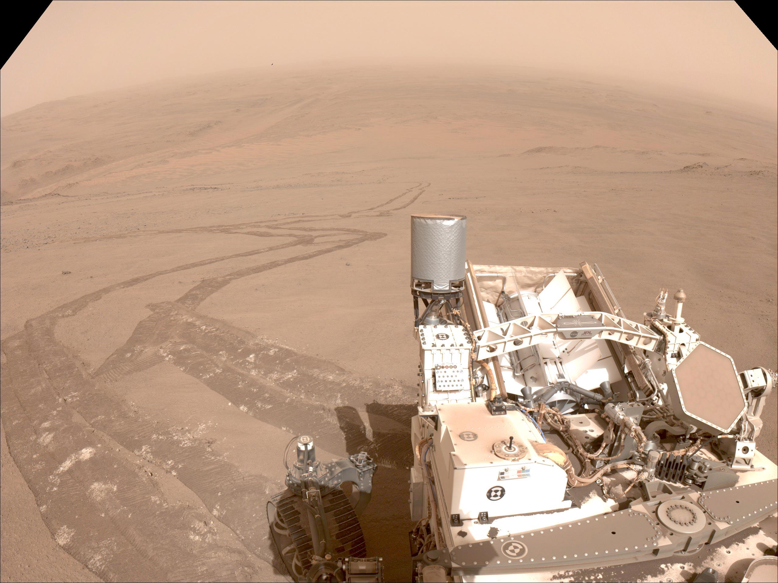
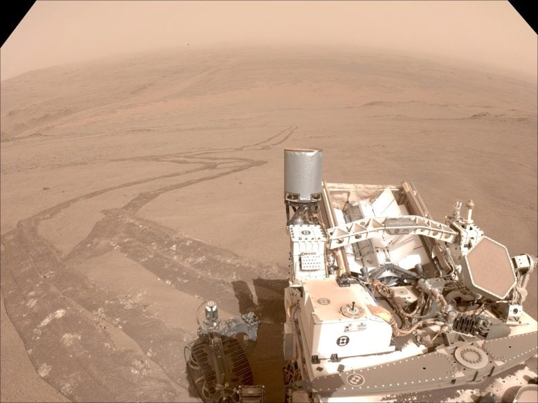
NASA’s Perseverance Mars rover is making its way up a steep route along the western wall of Jezero Crater, aiming to reach the crater rim by early December. During this challenging climb, the rover captured a sweeping view of Jezero Crater’s interior, along with images of the wheel tracks it left behind after experiencing some slippage on the rocky terrain.

This panoramic view, stitched together from 44 images taken on September 27—the 1,282nd Martian day of Perseverance’s mission—highlights key landmarks from the rover’s 3½-year journey across Jezero. Visible in the mosaic are memorable sites, including its landing spot, the location where it first encountered sedimentary rocks, Mars’ first sample depot, and the final airfield for NASA’s Ingenuity Mars Helicopter. The rover took this remarkable shot near a location the team has nicknamed “Faraway Rock,” about halfway up the crater wall.

“The image not only shows our past and present, but also shows the biggest challenge to getting where we want to be in the future,” said Perseverance’s deputy project manager, Rick Welch of NASA’s Jet Propulsion Laboratory in Southern California. “If you look at the right side of the mosaic, you begin to get an idea what we’re dealing with. Mars didn’t want to make it easy for anyone to get to the top of this ridge.”
Visible on the right side of the mosaic is a slope of about 20 degrees. While Perseverance has climbed 20-degree inclines before (both NASA’s Curiosity and Opportunity rovers had crested hills at least 10 degrees steeper), this is the first time it’s traveled that steep a grade on such a slippery surface.
This animated orbital-map view shows the route NASA’s Perseverance Mars rover has taken since its February 2021 landing at Jezero Crater to July 2024, when it took its “Cheyava Falls” sample. As of October 2024, the rover has driven over 30 kilometers (18.65 miles), and has collected 24 samples of rock and regolith as well as one air sample. Credit: NASA/JPL-Caltech
Strategy Adjustments in Rover Navigation
During much of the climb, the rover has been driving over loosely packed dust and sand with a thin, brittle crust. On several days, Perseverance covered only about 50% of the distance it would have on a less slippery surface, and on one occasion, it covered just 20% of the planned route.
“Mars rovers have driven over steeper terrain, and they’ve driven over more slippery terrain, but this is the first time one had to handle both — and on this scale,” said JPL’s Camden Miller, who was a rover planner, or “driver,” for Curiosity and now serves the same role on the Perseverance mission. “For every two steps forward Perseverance takes, we were taking at least one step back. The rover planners saw this was trending toward a long, hard slog, so we got together to think up some options.”
On October 3, they sent commands for Perseverance to test strategies to reduce slippage. First, they had it drive backward up the slope (testing on Earth has shown that under certain conditions the rover’s “rocker-bogie” suspension system maintains better traction during backward driving). Then they tried cross-slope driving (switchbacking) and driving closer to the northern edge of “Summerland Trail,” the name the mission has given to the rover’s route up the crater rim.
Data from those efforts showed that while all three approaches enhanced traction, sticking close to the slope’s northern edge proved the most beneficial. The rover planners believe the presence of larger rocks closer to the surface made the difference.
“That’s the plan right now, but we may have to change things up the road,” said Miller. “No Mars rover mission has tried to climb up a mountain this big this fast. The science team wants to get to the top of the crater rim as soon as possible because of the scientific opportunities up there. It’s up to us rover planners to figure out a way to get them there.”
NASA’s Perseverance drives first backward then forward as it negotiates some slippery terrain found along a route up to the rim of Jezero Crater on October 15. The Mars rover used one of its navigation cameras to capture the 31 images that make up this short video. Credit: NASA/JPL-Caltech
Anticipation of Scientific Discoveries
In a few weeks, Perseverance is expected to crest the crater rim at a location the science team calls “Lookout Hill.” From there, it will drive about another quarter-mile (450 meters) to “Witch Hazel Hill.” Orbital data shows that Witch Hazel Hill contains light-toned, layered bedrock. The team is looking forward to comparing this new site to “Bright Angel,” the area where Perseverance recently discovered and sampled the “Cheyava Falls” rock.
The rover landed on Mars carrying 43 tubes for collecting samples from the Martian surface. So far, Perseverance has sealed and cached 24 samples of rock and regolith (broken rock and dust), plus one atmospheric sample and three witness tubes. Early in the mission’s development, NASA set the requirement for the rover to be capable of caching at least 31 samples of rock, regolith, and witness tubes over the course of Perseverance’s mission at Jezero. The project added 12 tubes, bringing the total to 43. The extras were included in anticipation of the challenging conditions found at Mars that could result in some tubes not functioning as designed.
NASA decided to retire two of the spare empty tubes because accessing them would pose a risk to the rover’s small internal robotic sample-handling arm needed for the task: A wire harness connected to the arm could catch on a fastener on the rover’s frame when reaching for the two empty sample tubes.
With those spares now retired, Perseverance currently has 11 empty tubes for sampling rock and two empty witness tubes.
More About Perseverance
NASA’s Perseverance rover, launched as part of the Mars 2020 mission, plays a crucial role in the search for ancient microbial life on Mars. A primary goal of Perseverance is astrobiology: collecting and storing rock and soil samples that may contain traces of ancient life. Beyond its search for biosignatures, the rover studies Mars’ geology and past climate, providing valuable insights to support future human exploration of the Red Planet.
As the first mission to gather and cache Martian samples, Perseverance paves the way for NASA’s Mars Sample Return Program, a collaboration with the European Space Agency (ESA), which aims to bring these samples back to Earth for detailed analysis.
Perseverance is managed by NASA’s Jet Propulsion Laboratory, advancing NASA’s Moon to Mars approach, which includes the Artemis missions to prepare for human exploration on Mars.