U.S. Naval Research Laboratory (NRL) Scientific Development Squadron ONE (VXS) 1 takes to the skies to deploy observational buoys in front of Hurricane Helene’s projected path on Tuesday, Sept. 24 providing real-time forecasts to the National Oceanographic Partnership Program (NOPP) Hurricane Coastal Impacts (NHCI) team for timely prediction and operational readiness.
“This is the second gulf hurricane the Warlocks have flown on in two weeks and the most buoys we have ever dropped on a NHCI mission,” said Scientific Development Squadron ONE (VXS) 1 Commanding Officer Cmdr. Aaron Roberts.
“We just finished showcasing the mission at the Oceana Airshow before flying on Helene. I am impressed by my team’s ability to adapt to the unpredictable and rapidly developing hurricanes this year.”
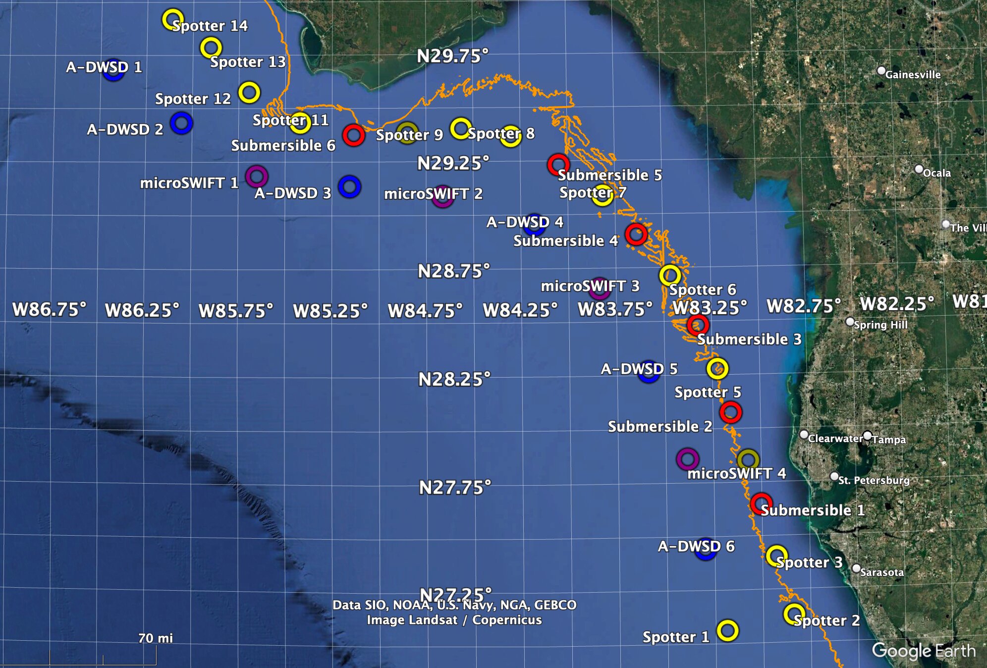
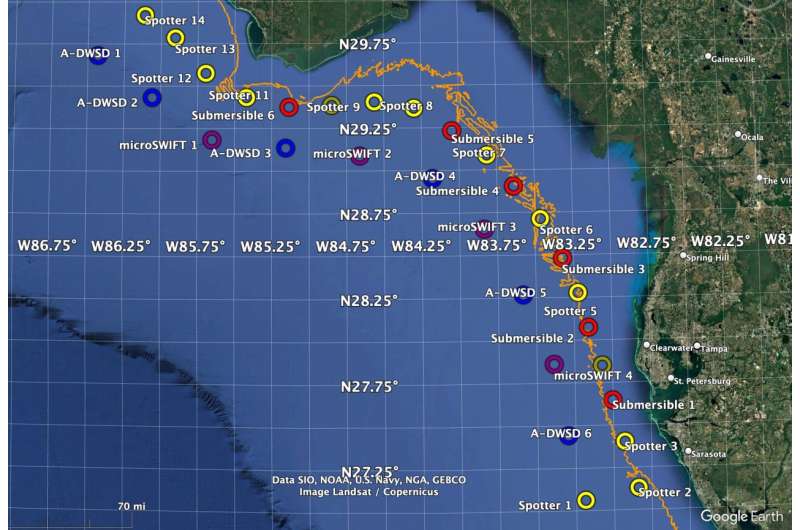
During the 7.8 hour flight, the team dropped 29 buoys in the Gulf of Mexico along the Florida and Alabama coastline. Four different variations of buoys were used for data collection, including four submersibles, six spotters, three Directional Wave Spectra Drifters, and three Surface Wave Instrument Floats with Tracking.
“The array of air-deployed drifting buoys and submersible instruments was designed by the NHCI team, including scientists from the Marine Meteorology Division who provided real-time forecasts from NRL’s Coupled Ocean/Atmosphere Mesoscale Prediction System for Tropical Cyclones, or COAMPS-TC, and insight into the observing strategy for Hurricane Helene,” said James Doyle, Ph.D., Senior Scientist for Mesoscale Meteorology from the Marine Meteorology Division.
COAMPS-TC is a specialized version of the Navy’s mesoscale numerical weather prediction model, designed to predict tropical cyclone track, intensity and structure. COAMPS-TC was named the world’s most accurate in predicting hurricane strengths during the 2019 Atlantic hurricane season by Jeff Masters, Ph.D., in Yale’s August 2020 Climate Connections.
The drifting buoys will record the height of the waves and direction the waves are headed, and how these wave characteristics change as Hurricane Helene moves through the array. The submersible instruments will sense water depth to measure the height of the storm surge produced by Helene.
-

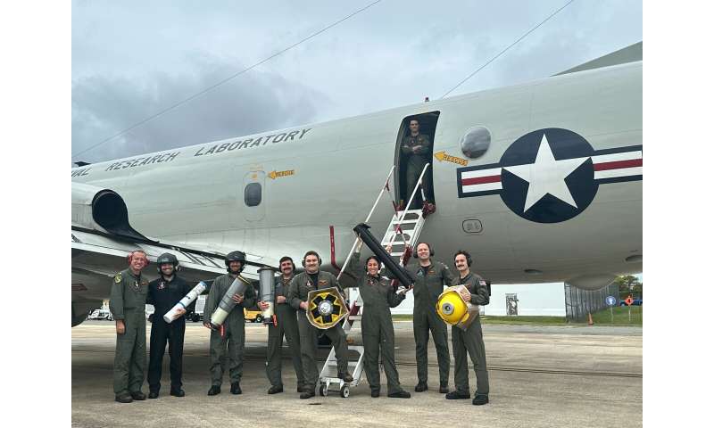
The U.S. Naval Research Laboratory (NRL) Scientific Development Squadron ONE (VXS) 1 “Warlocks” are on call to deploy environmental observation buoys in advance of hurricanes along the East Coast and Gulf of Mexico during throughout June to November hurricane season. From left to right: Commanding Officer Cmdr. Aaron Roberts, Mr. Jacob Davis, Mr. Eric Stackpole, Maintenance Officer Lt. John Leyba, Quality Assurance Officer Lt. Sean Carpenter, First Class Petty Officer (AWF1) Gapinski, First Class Petty Officer (AWF1) Gavin Naughton, Operations Officer Lt. Ben Cumberland and Senior Enlisted Leader Chief Petty Officer (AWFC) Fred Lewis at the top of the stairs. Credit: U.S. Navy photo by AWF1 Gapinski
-

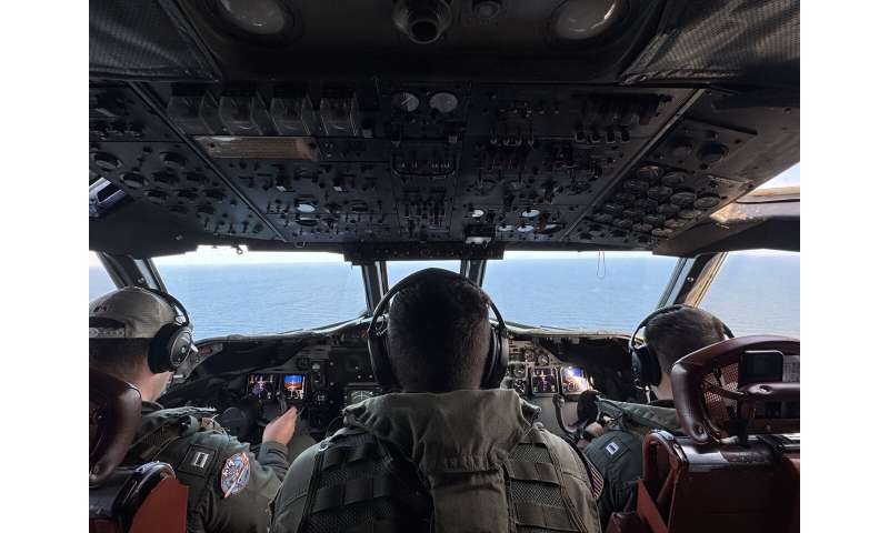
U.S. Naval Research Laboratory (NRL) Scientific Development Squadron ONE (VXS) 1 takes to the skies to deploy observational buoys in front of Hurricane Helene’s projected path on Tuesday, Sept. 24 providing real-time forecasts to the National Oceanographic Partnership Program (NOPP) Hurricane Coastal Impacts (NHCI) team for timely prediction and operational readiness. The view from the cockpit of the NP-3C Orion, an all-weather, medium-altitude, long-endurance aircraft as the teams heads towards the Gulf of Mexico to deploy information buoys. From left to right Operations Officer Lt. Ben Cumberland, Senior Enlisted Leader Chief Petty Officer (AWFC) Fred Lewis, and Maintenance Officer Lt. John Leyba. Credit: U.S. Navy photo by AWF1 Gapinski
-

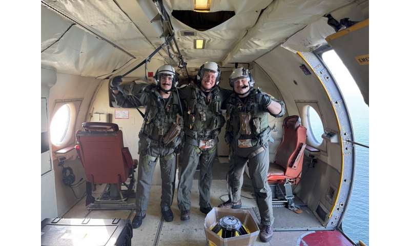
From left to right, First Class Petty Officer (AWF1) Gavin Naughton, Commanding Officer Cmdr. Aaron Roberts, and Quality Assurance Officer Lt. Sean Carpenter from U.S. Naval Research Laboratory’s Scientific Development Squadron ONE (VXS) 1. The squadron deployed 29 buoys ahead of Hurricane Helene’s landfall including four different variations of buoys used for data collection to include four submersibles, six spotters, three Directional Wave Spectra Drifters, and three Surface Wave Instrument Floats with Tracking. Credit: U.S. Navy photo by AWF1 Gapinski
“Understanding how a hurricane interacts with the ocean to generate waves and surge is key to understanding and predicting coastal impacts of land falling hurricanes” said Mesoscale Modeling Section Head (Acting) Jonathan Moskaitis, Ph.D.
“The ocean surface waves generated by the hurricane also provide drag on the storm’s low-level winds, which is an important feedback to simulate in specialized hurricane prediction models like the Navy’s COAMPS model. Observations of waves in the extreme environment of the hurricane inner core will provide unique insight into how account for surface drag in COAMPS-TC.”
The “Warlocks” of VXS-1 are on call to deploy environmental observation buoys in advance of hurricanes along the East Coast and Gulf of Mexico during the June through November hurricane season. The squadron quickly responded Tuesday morning to the rapidly evolving storm conditions of Helene.
The aircrew are comprised of Commanding Officer Cmdr. Aaron Roberts, Maintenance Officer Lt. John Leyba, Senior Enlisted Leader Chief Petty Officer (AWFC) Fred Lewis, First Class Petty Officer (AWF1) Cassandra Gapinski, First Class Petty Officer (AWF1) Gavin Naughton, Operations Officer Lt Ben Cumberland, Quality Assurance Officer Lt Sean Carpenter, Project Specialist, Mr. Jacob Davis, and Project Specialist, Mr. Eric Stackpole.
Provided by
Naval Research Laboratory
Citation:
VXS-1 Squadron continues the mission, tracking potential tropical cyclone (2024, September 27)
retrieved 27 September 2024
from https://phys.org/news/2024-09-vxs-squadron-mission-tracking-potential.html
This document is subject to copyright. Apart from any fair dealing for the purpose of private study or research, no
part may be reproduced without the written permission. The content is provided for information purposes only.
