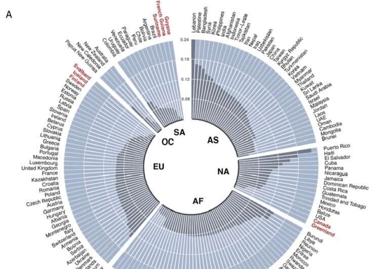

Canada ranks third in the world for animal movement between protected areas, finds new UBC research.
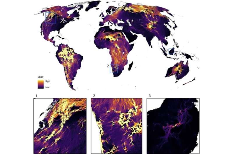
Researchers have created the first global map of where mammals are most likely to move between protected areas, such as national parks and nature reserves. Lead author Dr. Angela Brennan, a research associate at the Institute for Resources, Environment and Sustainability, says she hopes the data will help countries measure their success at protecting biodiversity over time.
Canada has many areas that are critical to animal movement, and therefore biodiversity, including the Yukon to Yellowstone corridor, and from the Coastal Mountains in B.C. to the North Cascade mountains in the United States. “Animals need to be able to move to find food, water, and mates, to maintain those vitally important flows of genes and other ecological processes across our landscapes,” says Dr. Brennan. “Without connectivity—when animal movement is blocked—animal populations become isolated and these flows can stop, putting species and habitats at risk.”
Living in harmony with wild animals
Led by researchers from UBC, World Wildlife Fund (U.S.) and the University of Colorado, Boulder, the study projected that reducing the human footprint would help mammals move more freely between protected areas. Measured in terms of factors such as population density, roads, and night lights, high degrees of human footprint can block or prevent animal movement, says Dr. Brennan. “It’s like water flowing through sand: if there are many things in the way of the water, like piles of debris, the water’s flow can become blocked. So if you reduce the size of the debris or make and maintain openings, more water can flow through. In the same way, we can reduce human factors that block animal movement, and make our landscapes more permeable for wildlife.”

The researchers projected that reducing this human footprint by half would increase the potential for mammals to move more freely between protected areas by 28 percent. If both the human footprint was reduced, and the size of protected areas was increased, connectivity would improve even further, by 43 percent.
But how humans can practically reduce their footprint to allow animals to move more freely is the “million-dollar question,” says senior author Dr. Claire Kremen (she/her), professor in the department of zoology and the Institute of Resources, Environment and Sustainability. “Part of this could be things like, instead of a solid corridor of trees that links two areas, there could be lots of little patches between the two, creating stepping stones. In some regions of the world, farmers manage livestock by using trees as living fences or combine trees with crops. These techniques would mean more habitat, more hiding places, and more ways animals can move between areas.”
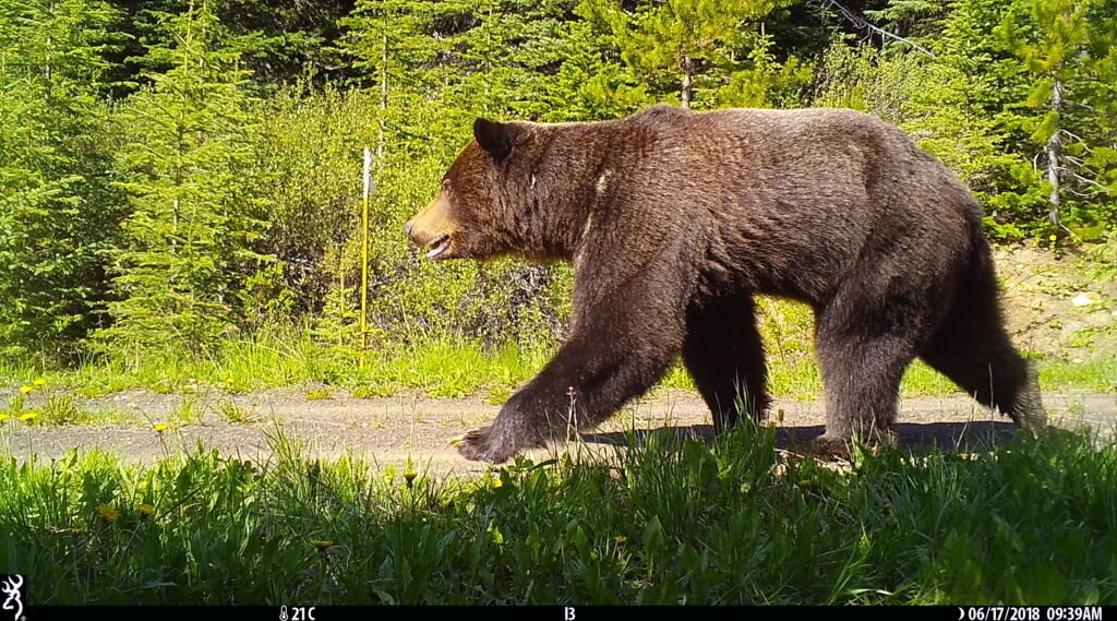
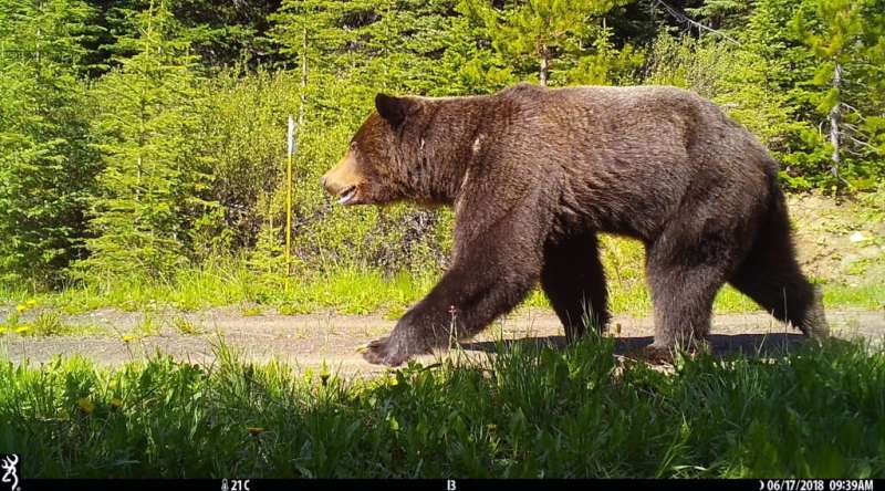
Just removing fences, or creating under- or overpasses for certain animals, such as Banff’s wildlife overpasses, are also possible solutions, says Dr. Brennan. As for the potential dangers posed by encouraging bears to stroll through Banff, improving connectivity can actually reroute animals away from humans into areas where they can move more safely, she says.

Pinch points to protect
The researchers used data from a previously published global study of mammal movement to map the world’s critical areas for connectivity. They then used GPS data from animals’ collars to verify that animal movement matched with their projections.
The researchers also looked at critical areas, where the flow of animal movement is particularly important to maintain, representing around 10 percent of the world’s land. About two-thirds of these were outside of national parks or other types of protected areas and around 23 percent were both unprotected and occurred on land suitable for future agricultural use. “We need to keep our eyes on these ‘pinch points’ as changes to the land or its use in these sensitive and small regions could have outsized effects on animal movement, and so, on the survival of these species,” says Dr. Kremen.
Seventy percent of these critical areas to the flow of animal movement overlap with places already identified as being valuable to biodiversity, highlighting areas of synergy for conserving wildlife, says Dr. Brennan. “If we aim our conservation efforts where we can have multiple benefits—like conserving connectivity and endemic species—we can maximize the use of our conservation dollars.”
Study establishes key areas for tiger movement in central India
A. Brennan et al, Functional connectivity of the world’s protected areas, Science (2022). DOI: 10.1126/science.abl8974
University of British Columbia
Citation:
Canada ranks third worldwide in permeable landscapes for wildlife (2022, June 2)
retrieved 2 June 2022
from https://phys.org/news/2022-06-canada-worldwide-permeable-landscapes-wildlife.html
This document is subject to copyright. Apart from any fair dealing for the purpose of private study or research, no
part may be reproduced without the written permission. The content is provided for information purposes only.

