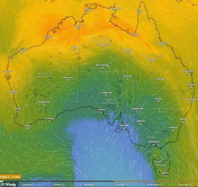
A blast of cold air travelling up from the ocean south of Australia will bring one of the strongest cold snaps of the year to the lower eastern part of the country.
The cold front will bring icy temperatures, damaging winds, low level snow and wind gusts to South Australia, Victoria and parts of NSW that will provide a wintry sting to the start of Spring.
‘On Thursday, the cold front will bring gusts and significant wind chill so it will feel as cold as 7C,’ Weatherzone meteorologist Corine Brown told Daily Mail Australia.

The blast of cold air will hit South Australia on Thursday and Victoria on Friday (pictured)
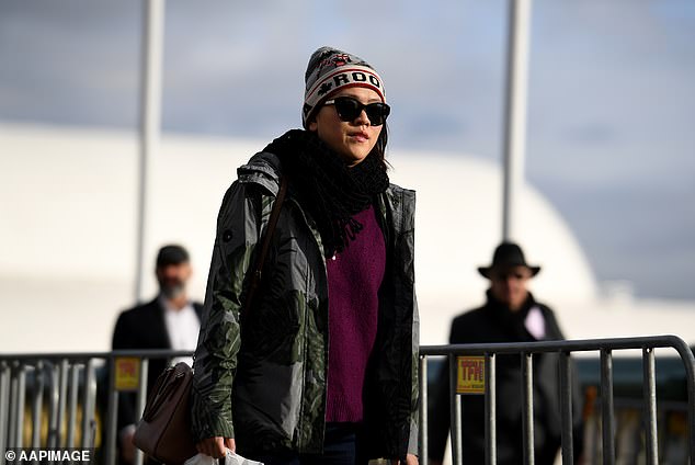


After a warm winter much of SA, Victoria and NSW are set to experience an icy weekend
Weatherzone said the cold snap would be in stark contrast to the mild winter much of the country has had in recent months.
‘On Friday as the system moves into Victoria the temperatures will be about the same with wind chill making it feel 7C and that will persist into Saturday.’
‘In Sydney on Friday it will feel slightly warmer, about 12C, but there will most likely be thunderstorms as the cold front meets the warmer air ahead of it.’
‘On Saturday a mass of cold, dry air from behind the front will linger over Victoria and that will bring chilly mornings.’
The frigid air won’t reach the top half of the country but southern Queensland and central Australia will get the edges of the system bringing cold mornings.
Weatherzone said showers could develop over WA, SA, Victoria, Tasmania, NSW and Queensland as the weekend approaches as this could result in snowfalls for the alps region, parts of Victoria and Tasmania.
Some storms could turn fierce as a squall line may develop over NSW at the leading edge of the cold front bringing gale force winds and lightning.
There could also be an increased fire danger as the winds fan warmer air ahead of the cold front.
The mercury in Adelaide will hit a high of just 14C on Friday and get as low as 5C early Saturday morning.
Melbourne will reach a high of 12C on Friday and drop to 7C early Saturday morning.
Sydney will reach about 8 degrees minimum early on Saturday morning, while Canberra will get a significant frost hitting -2C.
At the edge of the system, Brisbane will see a minimum temperature of 15C overnight Friday while Alice Springs will plunge to a minimum of 4C overnight.
The cold front will move over Perth earlier in the week bringing cool temperatures on Wednesday and Thursday with highs in the low 20s.
Darwin will not be affected by the system and will be hot and sunny for the weekend with highs in the low to mid 30s.
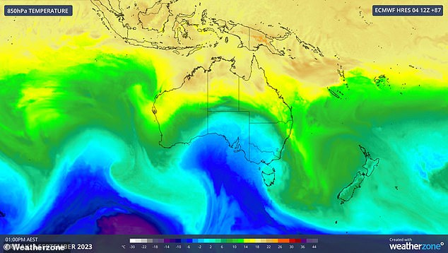


The cold front will hit warmer air ahead of it causing storms in NSW on Friday
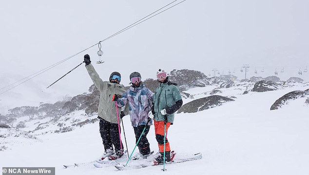


The cold weather system could also bring snowfalls to the Australian Alps over the weekend (picture: Perisher resort)
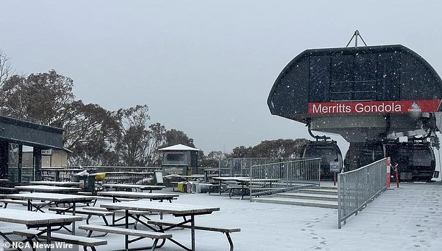


The average ski season this year could have one belated burst of fresh snow this weekend (picture: Thredbo resort)
Source: | This article originally belongs to Dailymail.co.uk